Where are you allowed to fly your drone?
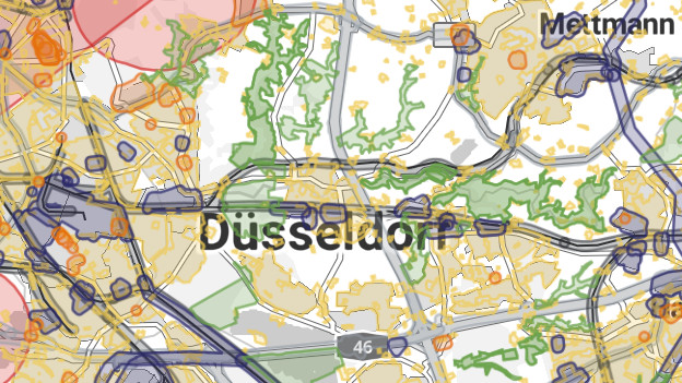
Of course, you can't wait to get your new drone flying as soon as possible as a drone enthusiast. But there are areas in Germany where you're not allowed to fly. The different geographical zones and their restrictions are marked by different colors on the Dipul map. In this article, we'll explain how to use the Dipul map.

What are geographical zones?
A geographical area, or UAS area, is a specific part of the airspace. In these airspaces, certain rules apply to the use of drones. This applies to airports, residential areas, industrial areas, and nature reserves, for example. In these areas, you're often only allowed to fly with restrictions or a permit. This is necessary to ensure the safety of the airspace.
Which restrictions apply in which areas?
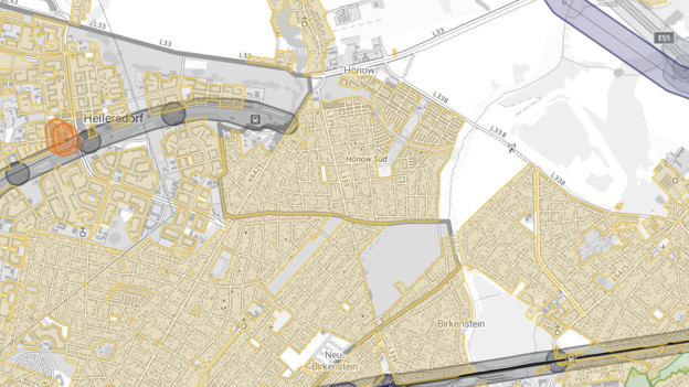
The best way to find out which restrictions apply at a specific location is to open the Dipul map. Use the search function or click directly on a point on the map. Are you in a colored area? There are restrictions and you're not allowed to fly your drone without permission. Are you in a white or gray area? You can fly your drone without restrictions. We've listed the most common restrictions for you below.
Residential areas
Residential areas are marked in yellow on the map. You can fly your drone here if the relevant owners or other authorized parties explicitly agree to the overflight. Without consent, you can only fly at a minimum altitude of 100m if you meet certain regulations. You can read the exact conditions here.
Nature conservation areas
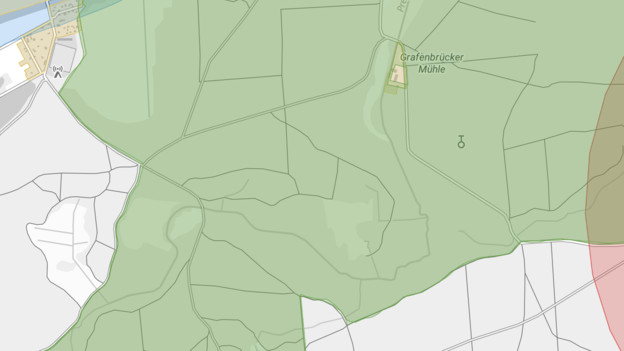
Drone flights over nature conservation areas are only allowed under strict conditions. They're marked in green on the map. You need permission from the nature conservation authority. Exceptions apply if the flight isn't for sports or leisure purposes. In addition, the drone has to fly above 100m. You have to know and respect the conservation purpose of the area. In addition, the flight is only allowed to take place if it's absolutely necessary. National parks often have even stricter rules that usually prohibit flights.

Airports and airfields
Airports and airfields are marked in red on the map. You're not allowed to fly your drone above or within a 1.5km range from airfields and airports. In case of heliports, the operator of the landing site has to approve your flight. You can find more detailed information on the website.
Government agencies, industry, and energy supply
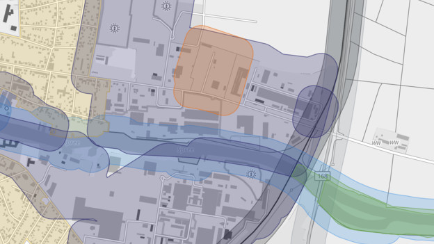
There are also restrictions in industrial and energy supply areas, as well as nearby institutions and government agencies. They're marked in orange and blue on the map. You can only fly your drone here with permission from the relevant authority. You can find more information on the website.
Extra batteries for longer flights
Did you forget to charge the battery or are you going on a longer trip? It's useful to have a spare battery at hand. This provides you with more flexibility on the go and you can fly your drone for longer. View all our batteries here.
