The different techniques for traffic information
In short
| RDS-TMC | DAB+ | GPRS via built-in sim | GPRS via smartphone | ||
|---|---|---|---|---|---|
| Refresh rate | 5 - 10 minutes | 30 seconds | 2 minutes | 2 minutes | |
| Wireless/via charging cable | Cable | Cable | Wireless | Wireless | |
| Accuracy | * | ** | *** | *** | |
| Costs | Free | Free | Free | Data costs for smartphone | |
| Roads | Highways and provincial roads | Highways and provincial roads | Highways, provincial roads, and city centers | Highways, provincial roads, and city centers |
The differences

Radio (RDS-TMC)
RDS (Radio Data System), or the radio, is the most well-known and oldest form for receiving traffic information. Thanks to the integrated FM receiver, navigation systems with this technology receive information via the FM radio signal. The antenna is integrated in an included TMC power cable and has to be connected to the battery of your car. The device collects traffic information on highways and provincial roads every 5 to 10 minutes, free of charge.

Digital Radio (DAB+)
With DAB+ technology (digital radio), you'll also receive traffic information via the radio on highways and provincial roads, only via DAB+ instead of the FM signal. As a result, the navigation system refreshes the information every 30 seconds and the information is more accurate than if your device uses the RDS technology. The DAB+ technology is mainly found in Garmin navigation systems. Note: you have to connect the device to the battery of your car.

GPRS via integrated SIM or smartphone
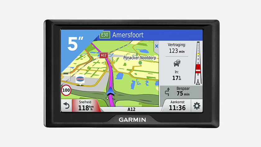
The most comprehensive technique to receive traffic information is GPRS. This is mobile data, so it uses the 3G/4G/5G network. The navigation system uses the network to receive the traffic information on highways, provincial roads, small roads, and city centers via an integrated SIM card or the Bluetooth on your smartphone. Note: linking your navigation system to your smartphone may cause additional data costs. If you use the system for 1 hour each day, you'll use around 10MB per month.


